Descripción
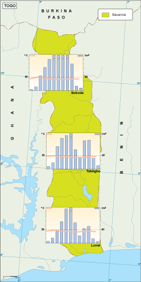
Togo climate map
Archivos en illustrator, eps y pdf de mapas vectoriales de ciudades, regiones de España y países del mundo
65.00 €
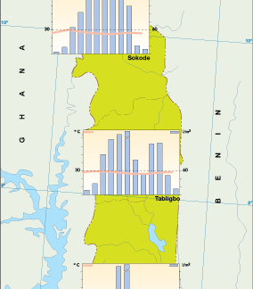
Togo climate map. Vector Climate Map. In our maps you can see different climates in the country. Map is showing weather patterns in a given area. It usually consists of a conventional map overlaid with colors representing climate zones.
Togo climate map
Una vez pagado el mapa online lo enviamos
— vía email directo y
— copia vía Wetransfer
La entrega es en minutos, en general, aunque los fines de semana puede llegar a unas horas.
De los mapas más simples a los más complejos
——————————–
Illustrator, Freehand & Eps archivos
Editable – estructurado capas
Entrega en todo el mundo
Copyright Netmaps®, 1997-23

